A farmer walks a field at dawn and sees the same things farmers have always seen: pale patches, uneven growth, a wet corner. What a person on foot cannot see is the whole field at once, week after week, compared with last season and with the neighbor's fields. That wider view is what crop monitoring tools sell.
They do it with different kinds of eyes. Satellites photograph large areas on a schedule. Drones fly low and capture fine detail. Aircraft cover big orchards and vineyards. Machines record what they planted and harvested. The tools in this guide use one or more of these sources, then apply AI to turn pictures and numbers into something a person can act on: which part of the field needs attention, and why. We compare five well-known platforms, separate the data sources so you know what you are buying, and give you a low-risk way to test one before you rely on it.
In this article
- Where the Data Comes From
- Climate FieldView: Your Own Machine Data in One Place
- Cropin: Agri-Intelligence for Programs and Agribusiness
- Farmonaut: Satellite Monitoring for a Wider Audience
- Sentera: Drones and Sensors for Close Inspection
- Ceres Imaging: Aerial Insight for Irrigation and Crop Stress
- Related Tools Worth Knowing
- Quick Comparison
- Test It on One Field First
- Practical Issues to Check
- Frequently Asked Questions
- Are satellites or drones better for crop monitoring?
- Can small farms benefit from these tools?
- How accurate are AI crop alerts?
- Do I need an agronomist?
- Final Verdict
General information, not agronomic advice. Crop decisions depend on soil, variety, climate, and local regulations. Treat AI alerts as prompts to inspect the field and consult a qualified agronomist, not as instructions.
A satellite can tell you where to look. Only a person standing in the field can tell you what is wrong.
Where the Data Comes From
Before comparing brands, understand the four main sources. Each has strengths and blind spots.
Satellite imagery. Covers huge areas cheaply and repeatedly. Resolution is coarser, and clouds can block the view, which matters a great deal in monsoon and rainy seasons.
Drone imagery. Very high detail, flown when you choose. Requires someone to fly it, favorable weather, and in many countries a permit. Practical for small areas or spot checks.
Aerial imagery from aircraft. High resolution over large blocks, popular for orchards, vineyards, and irrigated crops. Usually bought as a service.
Machine and sensor data. Planters, sprayers, and harvesters record what they did and how the crop performed, and field sensors can report soil moisture and temperature.
The best tools combine several sources. The cheapest often depend on one.
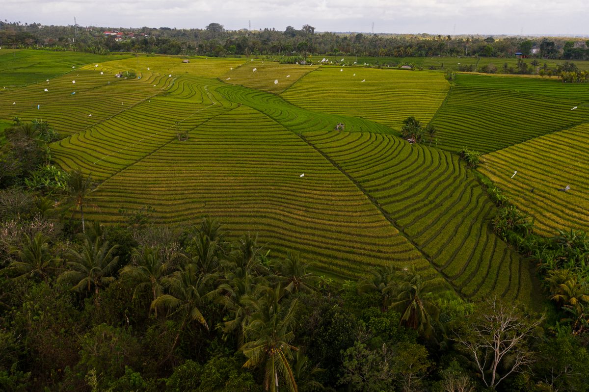
Climate FieldView: Your Own Machine Data in One Place
Climate FieldView is a digital farming platform from Bayer. Growers use it to collect field data, view planting and harvest records, compare yield across fields and seasons, and plan inputs more precisely.
- Best for: commercial growers who run modern machinery and want their own data in one place.
- Strength: deep use of machine data, so the insights come from what actually happened on your fields.
- Watch for: features and equipment compatibility vary by country. Confirm that it works with your machinery and is supported where you farm.
Cropin: Agri-Intelligence for Programs and Agribusiness
Cropin is an agri-intelligence platform that combines farm management with satellite-based monitoring and analytics. It serves agribusinesses, food companies, and large farming programs that need visibility across many farms, and it has strong roots in Asia and Africa.
- Best for: organizations tracking hundreds or thousands of farms, such as processors, input suppliers, and cooperative programs.
- Strength: scale and the ability to bring many small farms into one view.
- Watch for: it is aimed at organizations more than individual smallholders. Ask what an individual farmer or a small cooperative would actually use.
Farmonaut: Satellite Monitoring for a Wider Audience
Farmonaut offers satellite-based crop health monitoring through an app and other interfaces, with the aim of making this kind of insight affordable for smaller farms as well as larger ones.
- Best for: farmers and advisors who want satellite views of crop health without buying equipment.
- Strength: accessibility, with monitoring that does not require flying anything.
- Watch for: satellite resolution and cloud cover limit what it can see. Test it on a field you know well, and compare its alerts with what you find on the ground.
Sentera: Drones and Sensors for Close Inspection
Sentera provides drone- and sensor-based imaging and analytics for crop scouting. Drone flights capture detail that satellites miss, such as stand counts, weed patches, and stress in small areas.
- Best for: agronomists, consultants, and growers who want detailed, on-demand views of specific fields.
- Strength: high-resolution detail when it matters.
- Watch for: drone work needs a pilot, good weather, and compliance with local aviation rules. Time spent flying and processing is a real cost.
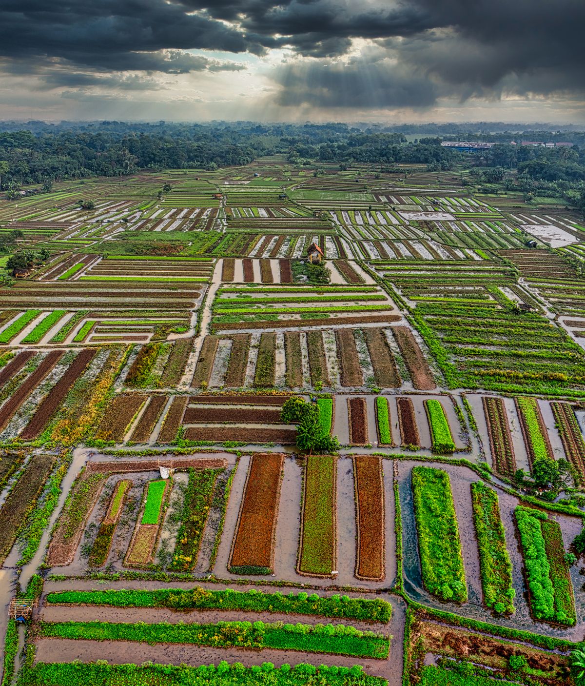
Ceres Imaging: Aerial Insight for Irrigation and Crop Stress
Ceres Imaging combines aerial and satellite imagery with analytics to help growers see crop stress and irrigation issues, with a focus on high-value crops such as orchards, vineyards, and irrigated row crops.
- Best for: growers of higher-value crops where irrigation efficiency has a large payoff.
- Strength: turning imagery into irrigation and stress insights that map to real decisions.
- Watch for: coverage is concentrated in certain regions and crops. Confirm that it serves your area before you plan around it.
Related Tools Worth Knowing
- FarmWise: associated with autonomous field robots for tasks such as weeding. Check current availability and supported crops.
- ClimateAi: climate risk forecasting for agricultural businesses and supply chains.
- Indigo Ag: an agricultural technology company working on areas such as crop inputs and carbon programs.
- PlantNet: a free plant identification app based on community photos, useful for quick identification rather than field-scale monitoring.
Quick Comparison
| Tool | Main data source | Best for | Watch out for |
|---|---|---|---|
| Climate FieldView | Machine and field data | Commercial growers with modern equipment | Country and equipment support |
| Cropin | Satellite plus farm management | Agribusiness and farming programs | Aimed at organizations |
| Farmonaut | Satellite | Affordable crop-health views | Resolution and cloud cover |
| Sentera | Drone and sensors | Detailed scouting | Pilot, weather, and permits |
| Ceres Imaging | Aerial and satellite | Irrigation in higher-value crops | Regional and crop coverage |
Test It on One Field First
The safest way to evaluate a monitoring tool is small and cheap. Do this before you sign a multi-field contract:
- Pick a field you know well. You need to be able to tell whether the tool is right.
- Walk it first. Note problem areas from your own observations, before looking at any alerts.
- Compare. Does the tool flag the same areas? Does it flag things you missed? Does it flag things that turn out to be nothing?
- Ground-truth the alerts. Go and look at every flagged area, and record what you find. Repeat over several weeks.
- Check the timing. An alert that arrives after the damage is done is a report, not a warning. Note how quickly imagery and alerts appear.
- Estimate the value. Ask what decision each alert changed and what it saved or earned. If the answer is nothing, the tool is a nice picture.
Practical Issues to Check
- Connectivity. Rural areas often have weak mobile coverage. Does the app work offline, or sync later?
- Language and local support. Interfaces and advisory content in your language and crops matter more than feature lists.
- Crop and region coverage. Models are trained on certain crops and conditions. Ask for evidence that they work on yours.
- Cost model. Per-hectare, per-acre, per-flight, or per-user pricing can differ enormously in total cost.
- Data ownership. Confirm who owns your field data, and whether it can be shared or used to train models.
- Integration. If you already use farm management or equipment software, check what connects.
Frequently Asked Questions
Are satellites or drones better for crop monitoring?
Neither is better everywhere. Satellites cover large areas cheaply and regularly, but with less detail and with cloud interference. Drones give fine detail on demand but require a pilot and suitable weather. Many operations use satellites for routine checks and drones for closer inspection.
Can small farms benefit from these tools?
Yes, particularly from lower-cost satellite-based options. The practical challenges are cost, connectivity, and whether advice fits local crops and conditions, so test on one field before expanding.
How accurate are AI crop alerts?
It varies by crop, region, data quality, and cloud cover. Alerts are best treated as prompts to inspect a field. Verify them on the ground and keep a record of how often they are right.
Do I need an agronomist?
Software can show where something is unusual, but interpreting why, and what to do, still benefits from local expertise. Many programs pair the tools with advisors.
Final Verdict
Match the tool to the data you have and the scale you work at. Climate FieldView suits growers with modern machinery who want their own data analyzed. Cropin suits organizations coordinating many farms. Farmonaut offers accessible satellite monitoring. Sentera adds drone-level detail. Ceres Imaging targets irrigation in higher-value crops.
Whatever you choose, test on one field you know well, ground-truth every alert, and keep experts in the loop. Browse all options with community votes in the AIPick Logistics and Agriculture category, and see how farm monitoring fits with logistics tools in our guide to AI for supply chain, fleet, and agriculture.